Loading...
Way History: 200236825
Version #3
paris updates
Tags
| building | yes |
|---|---|
| end_date | 1422 |
| man_made | tower |
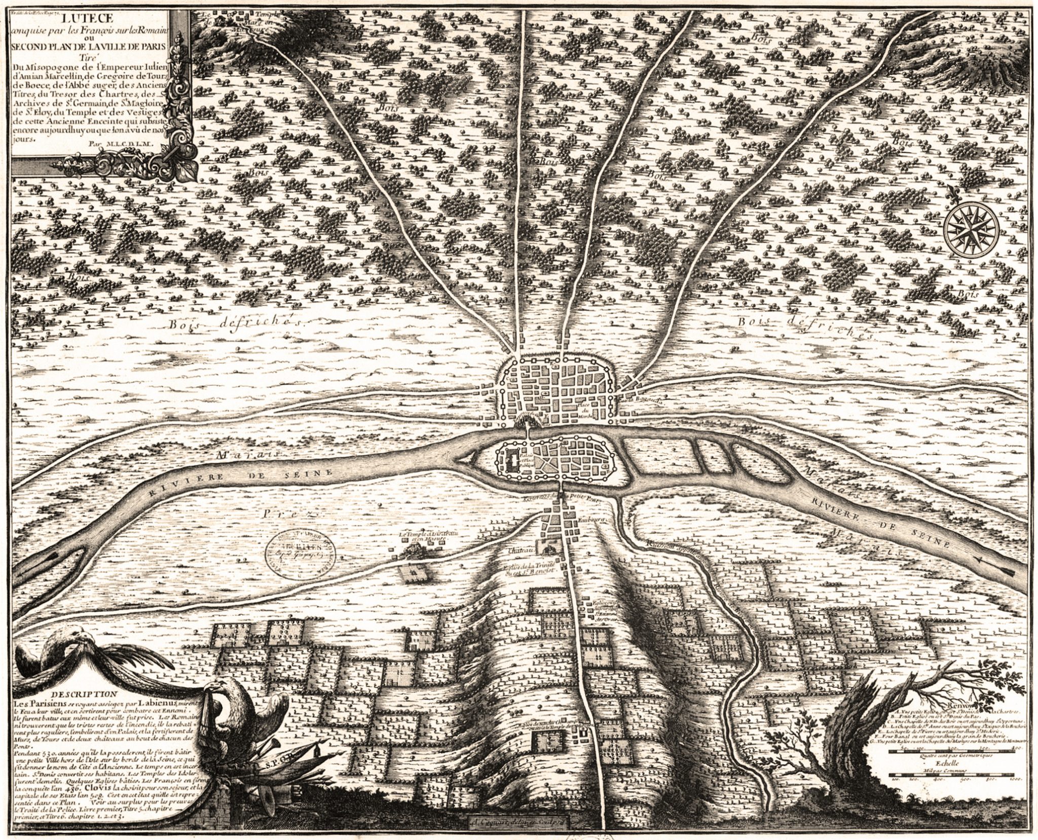
| source | http://www.oldmapsofparis.com/wp-content/uploads/2017/11/paris508.jpg |
| start_date | 0508 |
Nodes
7 nodes
- 2119544900
- 2119544901
- 2119554797 (part of way 200238466)
- 2119544902
- 2119544903
- 2119554795 (part of way 200238465)
- 2119544900
Version #2
paris building update
Tags
| building | yes |
|---|---|
| end_date | 1422 |
| man_made | tower |
| source | http://www.oldmapsofparis.com/wp-content/uploads/2017/11/paris508.jpg |
| start_date | 0508 |
Nodes
8 nodes
- 2119544900
- 2119544901
- 2119554797 (part of way 200238466)
-
2119554798 - 2119544902
- 2119544903
- 2119554795 (part of way 200238465)
- 2119544900
Version #1
paris update
Tags
| building | yes |
|---|---|
| end_date | 1422 |
| man_made | tower |
| source | http://www.oldmapsofparis.com/wp-content/uploads/2017/11/paris508.jpg |
| start_date | 0508 |
Nodes
Welcome to OpenHistoricalMap!
OpenHistoricalMap is an interactive map of the world throughout history, created by people like you and dedicated to the public domain.
OpenHistoricalMap is a charter project of OpenStreetMap U.S., a 501(c)(3) nonprofit organization affiliated with the OpenStreetMap Foundation. Technical development is supported by GreenInfo Network and Development Seed.
| https://openstreetmap.org/copyright | https://openstreetmap.org |
| Copyright OpenHistoricalMap and contributors, under an open license | |