Loading...
Way: 198776383
Version #1
Added places
Tags
| highway | secondary |
|---|---|
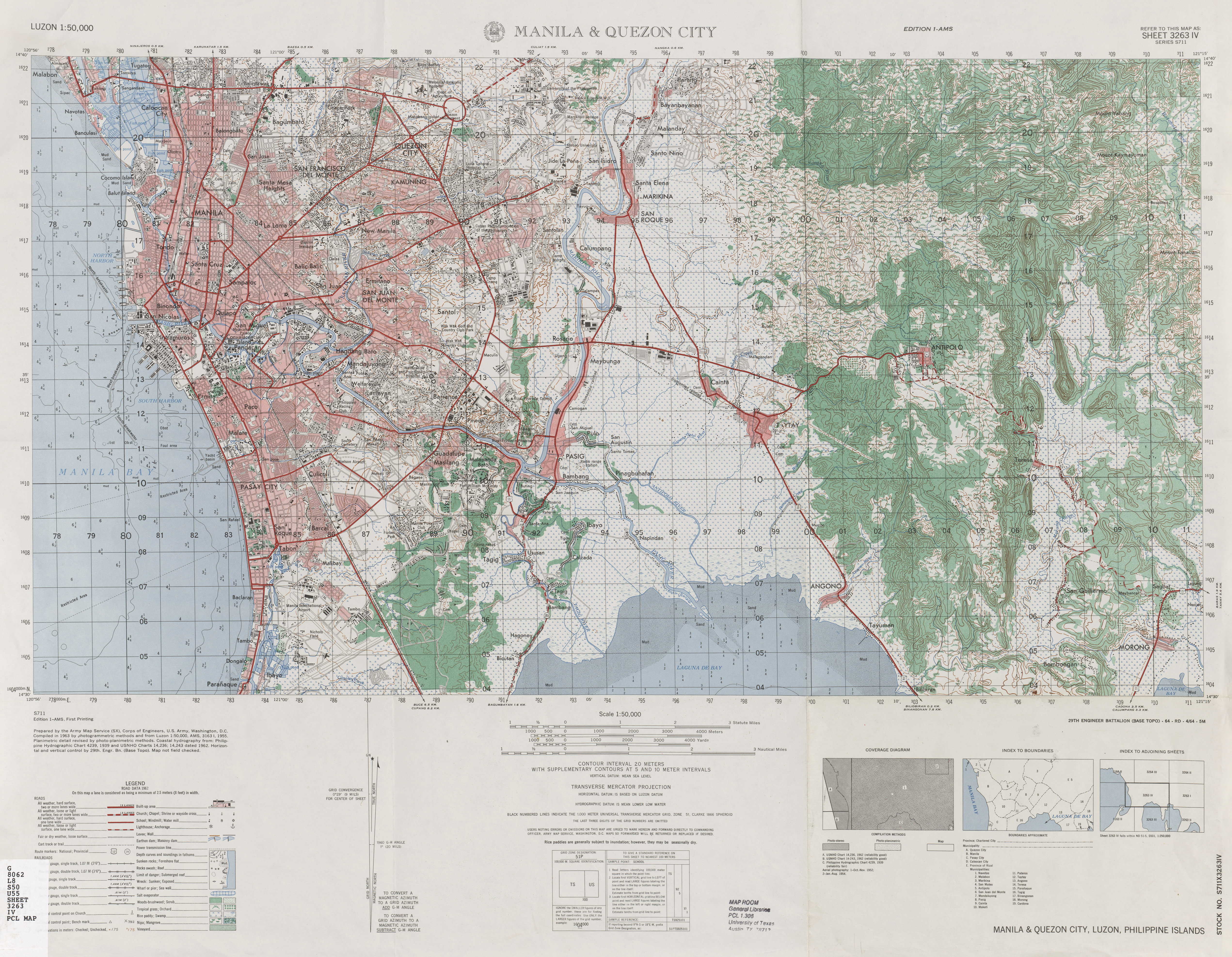
| source | https://maps.lib.utexas.edu/maps/ams/luzon_50k/txu-pclmaps-oclc-10282124-manila-and-quezon-city.jpg |
| start_date | 1964 |
Nodes
21 nodes
- 2090619851 (part of ways 198566191, 198566193, and Makati Avenue (198566187))
- 2095501504 (part of way 198776397)
- 2095501320
- 2095501321
- 2095501322
- 2095501323
- 2095501324
- 2095501325
- 2095501326
- 2095501327
- 2095501328
- 2095501329
- 2095501330
- 2095501331
- 2095501617 (part of ways 198776417 and Ponce (198776416))
- 2095501332
- 2095501592 (part of way Hernandez (198776418))
- 2090568390 (part of way EDSA (198562091))
- 2095501602 (part of way 198562102)
- 2095501603 (part of way 198562103)
- 2090568354 (part of ways EDSA (198562100) and 198776411)
Welcome to OpenHistoricalMap!
OpenHistoricalMap is an interactive map of the world throughout history, created by people like you and dedicated to the public domain.
OpenHistoricalMap is a charter project of OpenStreetMap U.S., a 501(c)(3) nonprofit organization affiliated with the OpenStreetMap Foundation. Technical development is supported by GreenInfo Network and Development Seed.
| https://openstreetmap.org/copyright | https://openstreetmap.org |
| Copyright OpenHistoricalMap and contributors, under an open license | |