Loading...
Way History: Klarenthaler Straße (198738337)
Version #4
Enhanced Klarenthaler Straße
- Edited by mvoehringer
- Changeset #31923
Tags
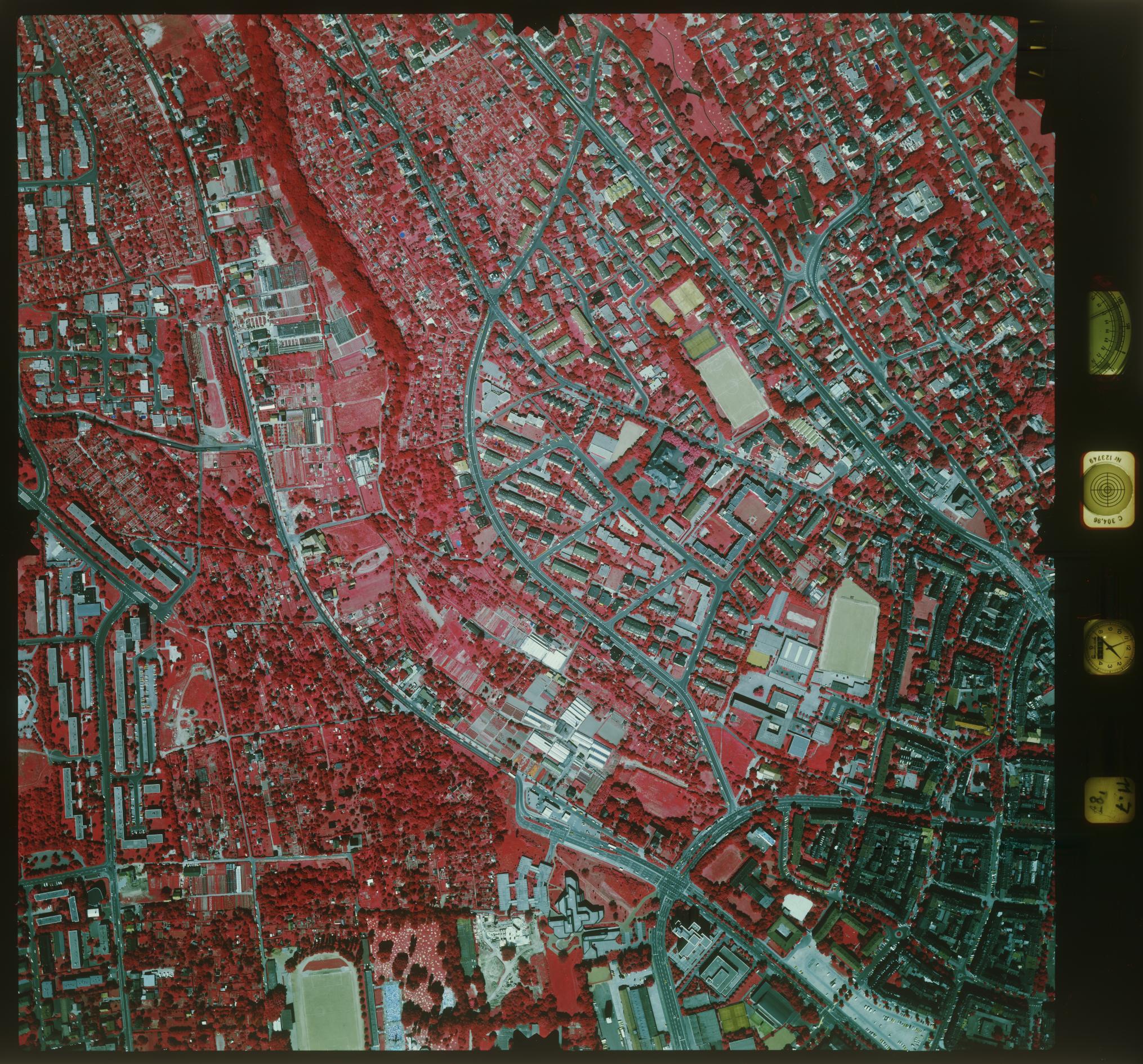
| description | start_date before 1987 https://geoportal.wiesbaden.de/luftbildarchiv/1987_10_117.jpg |
|---|---|
| highway | secondary |
| name | Klarenthaler Straße |
| start_date | 1982 |
Nodes
7 nodes
- 2095162216 (part of ways Klarenthaler Straße (198760592), Kurt-Schumacher-Ring (198760529), and Kurt-Schumacher-Ring (198760534))
- 2095162466 (part of way 198760584)
- 2095162495
- 2095162494
- 2095162493
- 2095162492
- 2095162491 (part of way Klarenthaler Straße (198744451))
Version #3
fix start_date
- Edited by mvoehringer
- Changeset #30219
Tags
| highway | residential |
|---|---|
| name | Klarenthaler Straße |
| start_date | 1930 |
Nodes
3 nodes
- 2094703226 (part of ways Nettelbeckstraße (198744454), Klarenthaler Strasse (198744453), and Klarenthaler Straße (198760592))
- 2094604378 (part of way Klarenthaler Straße (198760592))
- 2094703225 (part of way Klarenthaler Straße (198760592))
Version #2
Add buildings
- Edited by mvoehringer
- Changeset #30208
Tags
| highway | residential |
|---|---|
| name | Klarenthaler Strasse |
| start_date | 1930 |
Nodes
4 nodes
- 2094703226 (part of ways Nettelbeckstraße (198744454), Klarenthaler Strasse (198744453), and Klarenthaler Straße (198760592))
- 2094604378 (part of way Klarenthaler Straße (198760592))
-
2094703217 - 2094703225 (part of way Klarenthaler Straße (198760592))
Version #1
add Elsässer Platz
- Edited by mvoehringer
- Changeset #29533
Nodes
2 nodes
- 2094604056 (part of ways Klarenthaler Straße (198738313), Klarenthaler Strasse (198744453), and Gneisenaustraße (198738338))
- 2094604378 (part of way Klarenthaler Straße (198760592))
Welcome to OpenHistoricalMap!
OpenHistoricalMap is an interactive map of the world throughout history, created by people like you and dedicated to the public domain.
OpenHistoricalMap is a charter project of OpenStreetMap U.S., a 501(c)(3) nonprofit organization affiliated with the OpenStreetMap Foundation. Technical development is supported by GreenInfo Network and Development Seed.
| https://openstreetmap.org/copyright | https://openstreetmap.org |
| Copyright OpenHistoricalMap and contributors, under an open license | |