Loading...
Way History: Henry Street (198659840)
Version #2
Add road in Williamsburg, with very conservative (leaning late) start_dates
- Edited by jacobwhall
- Changeset #62959
Tags
| highway | residential |
|---|---|
| name | Henry Street |
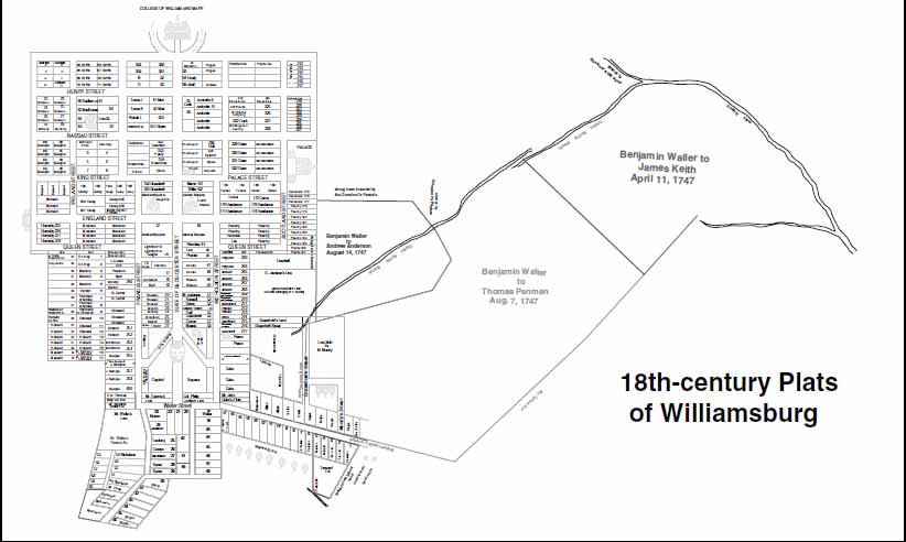
| source | https://research.colonialwilliamsburg.org/CWDLImages/ResearchReports/images/low/RR038108.jpg |
| start_date | 1699 |
Nodes
5 nodes
- 2093565998 (part of ways 199371349 and Francis Street (198659844))
- 2093565999 (part of way Duke of Gloucester Street (198659836))
- 2093566011 (part of way Prince George Street (198659845))
- 2093566013 (part of way Scotland Street (198659846))
- 2093566009 (part of ways Boundary Street (199371367) and Henry Street (199371368))
Version #1
Adding some James City Co. features
Tags
| end_date | 1922 |
|---|---|
| highway | residential |
| name | Henry Street |
| source | https://research.colonialwilliamsburg.org/CWDLImages/ResearchReports/images/low/RR038108.jpg |
| start_date | 1699 |
Nodes
5 nodes
- 2093565998 (part of ways 199371349 and Francis Street (198659844))
- 2093565999 (part of way Duke of Gloucester Street (198659836))
- 2093566011 (part of way Prince George Street (198659845))
- 2093566013 (part of way Scotland Street (198659846))
- 2093566009 (part of ways Boundary Street (199371367) and Henry Street (199371368))
Welcome to OpenHistoricalMap!
OpenHistoricalMap is an interactive map of the world throughout history, created by people like you and dedicated to the public domain.
OpenHistoricalMap is a charter project of OpenStreetMap U.S., a 501(c)(3) nonprofit organization affiliated with the OpenStreetMap Foundation. Technical development is supported by GreenInfo Network and Development Seed.
| https://openstreetmap.org/copyright | https://openstreetmap.org |
| Copyright OpenHistoricalMap and contributors, under an open license | |