Loading...
Node History: Château d’Assay (2102221532)
Version #2
Projet Chateaux #CHATEAUX_de_FRANCE
- Edited by u4y0u
- Changeset #78758
- Location: 47.5633482, 2.7881739
Tags
Version #1
Projet Chateaux #CHATEAUX_de_FRANCE
- Edited by u4y0u
- Changeset #78757
- Location: 47.5633482, 2.7881739
Tags
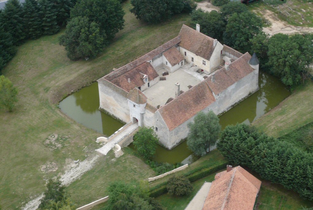
| historic | castle |
|---|---|
| image:1 | http://www.chateau-fort-manoir-chateau.eu/images/chateau-de-assay-45-beaulieu_a.jpg |
| name | Château d’Assay |
| start_date | 1200 |
Welcome to OpenHistoricalMap!
OpenHistoricalMap is an interactive map of the world throughout history, created by people like you and dedicated to the public domain.
OpenHistoricalMap is a charter project of OpenStreetMap U.S., a 501(c)(3) nonprofit organization affiliated with the OpenStreetMap Foundation. Technical development is supported by GreenInfo Network and Development Seed.
| https://openstreetmap.org/copyright | https://openstreetmap.org |
| Copyright OpenHistoricalMap and contributors, under an open license | |