Loading...
Changeset: 128854
paris updates
Closed by garageman
Tags
| changesets_count | 32 |
|---|---|
| created_by | iD 2.29.0-dev |
| host | https://www.openhistoricalmap.org/edit |
| imagery_used | OpenStreetMap (Standard) |
| locale | en-US |
| resolved:crossing_ways:building-highway | 7 |
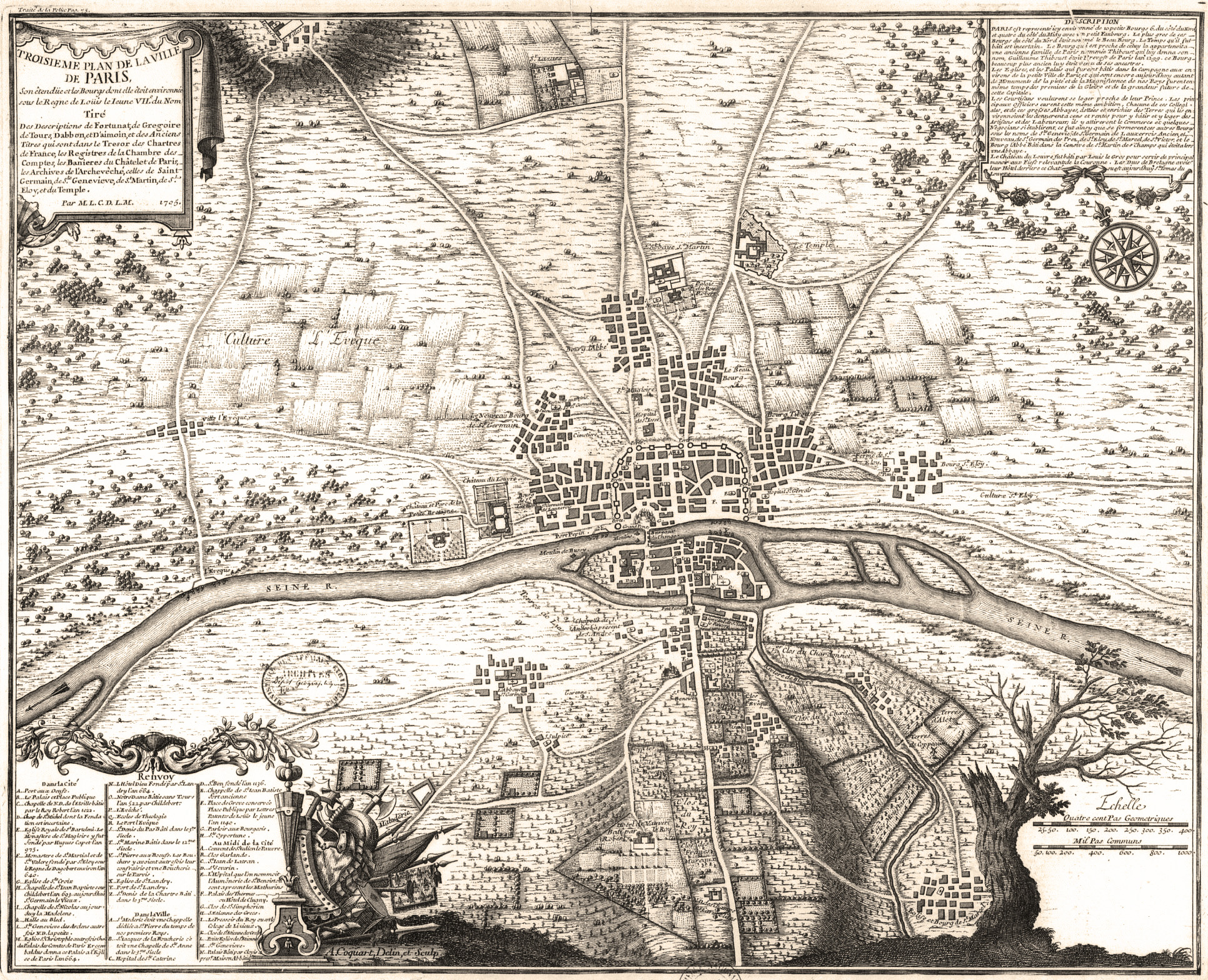
| source | http://www.oldmapsofparis.com/wp-content/uploads/2017/11/paris1180.jpg |
| warnings:crossing_ways:building-highway | 5 |
| warnings:crossing_ways:highway-highway | 2 |
Discussion
Ways (1-20 of 23)
- 1
- 2
- 200232231, v2
- Route de Douai à Lille (200236798), v2
200236799, v2200236800, v2200236801, v2- Rue de Rivoli (200236804), v3
- Rue de la Verrerie (200236805), v3
- Quai de Hotel de Ville (200236806), v3
- Rue des Archives (200236807), v3
- 200236824, v3
- 200236825, v3
- N 1 (200236835), v2
- 200236860, v2
- 200236867, v2
- Route de Douai à Lille (200238488), v1
- Quai de Hotel de Ville (200238489), v1
- 200238490, v1
- 200238491, v1
- 200238492, v1
- 200238493, v1
Nodes (61-80 of 113)
Welcome to OpenHistoricalMap!
OpenHistoricalMap is an interactive map of the world throughout history, created by people like you and dedicated to the public domain.
OpenHistoricalMap is a charter project of OpenStreetMap U.S., a 501(c)(3) nonprofit organization affiliated with the OpenStreetMap Foundation. Technical development is supported by GreenInfo Network and Development Seed.
| https://openstreetmap.org/copyright | https://openstreetmap.org |
| Copyright OpenHistoricalMap and contributors, under an open license | |